2016

This is an interesting little scenario as the terrain really is quite limited. Essentially the route that you can see is a river bed that just has a stream running through it along which there is a lot of housing. Outside of that is just rough hills with some sparse plantations. Presumably the valley is both sheltered and has water. However, it makes for a strange battle line as theres nothing behind it, just rocks and hills. It makes me wonder how the Syrian Army has not taken it before when you consider the scale of Aleppo.
Anyway, the Southfront article states that the rebels are Jabhat Fatah al-Sham and Ahrar al-Sham, and both the Syrian army and Hezbollah with air support are involved.
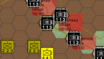
It looks like they only attacked Souq Wadi Barada, Kafr al-Awamid, al-Husyaniyah in the west which resulted in the units in the East being able to just walk into Baseema.
I think that key to understanding this is to consider the valley as a closed valley. I thik infantry can climb down but its probably not to safe from sniper fire etc. However, the mechanised infantry should really stay on the road or track, especially if you want to play in the spirit of things. Would be interesting to see the vally in three dimensions or see some general photos to gauge the angle and steepness of the valley walls etc, but time is limited really.
I wanted to put the river in and then realised that its not even big enough to be a stream. I think you could lep over it with a single bound judging by a close zoom with Google Maps. As such I have left it out, but you should be able to see the course of the valley.
Its otherwise quite a small engagement.
see Southfront